Thursday, 4th February 2021
Serving map tiles from SQLite with MBTiles and datasette-tiles
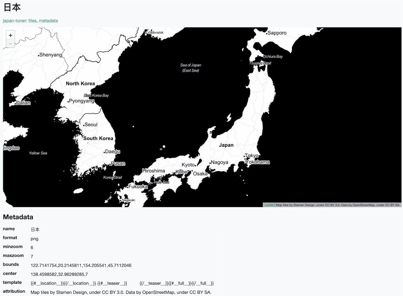
Working on datasette-leaflet last week re-kindled my interest in using Datasette as a GIS (Geographic Information System) platform. SQLite already has strong GIS functionality in the form of SpatiaLite and datasette-cluster-map is currently the most downloaded plugin. Most importantly, maps are fun!
[... 1,334 words]
Release
datasette-tiles 0.5
— Mapping tile server for Datasette, serving tiles from MBTiles packages
TIL
Downloading MapZen elevation tiles
— [Via Tony Hirst](https://twitter.com/psychemedia/status/1357280624319553537) I found out about [MapZen's elevation tiles](https://www.mapzen.com/blog/terrain-tile-service/), which encode elevation data in PNG and other formats.
